Service Areas
Surveying across Somerset, Dorset, Devon & Wiltshire
Across the South West, every landscape brings its own character - from rural plots to coastal edges, market towns and open farmland. We work within these places every day, providing topographical surveys, measured building surveys and Land Registry compliant plans for homeowners, architects, developers and landowners.
Our aim is always the same: clear, accurate drawings that help your project move forward with confidence.
Below you’ll find the areas we cover most often. If you’re nearby but not listed, you’re still welcome to get in touch - we regularly work just beyond these borders.
-
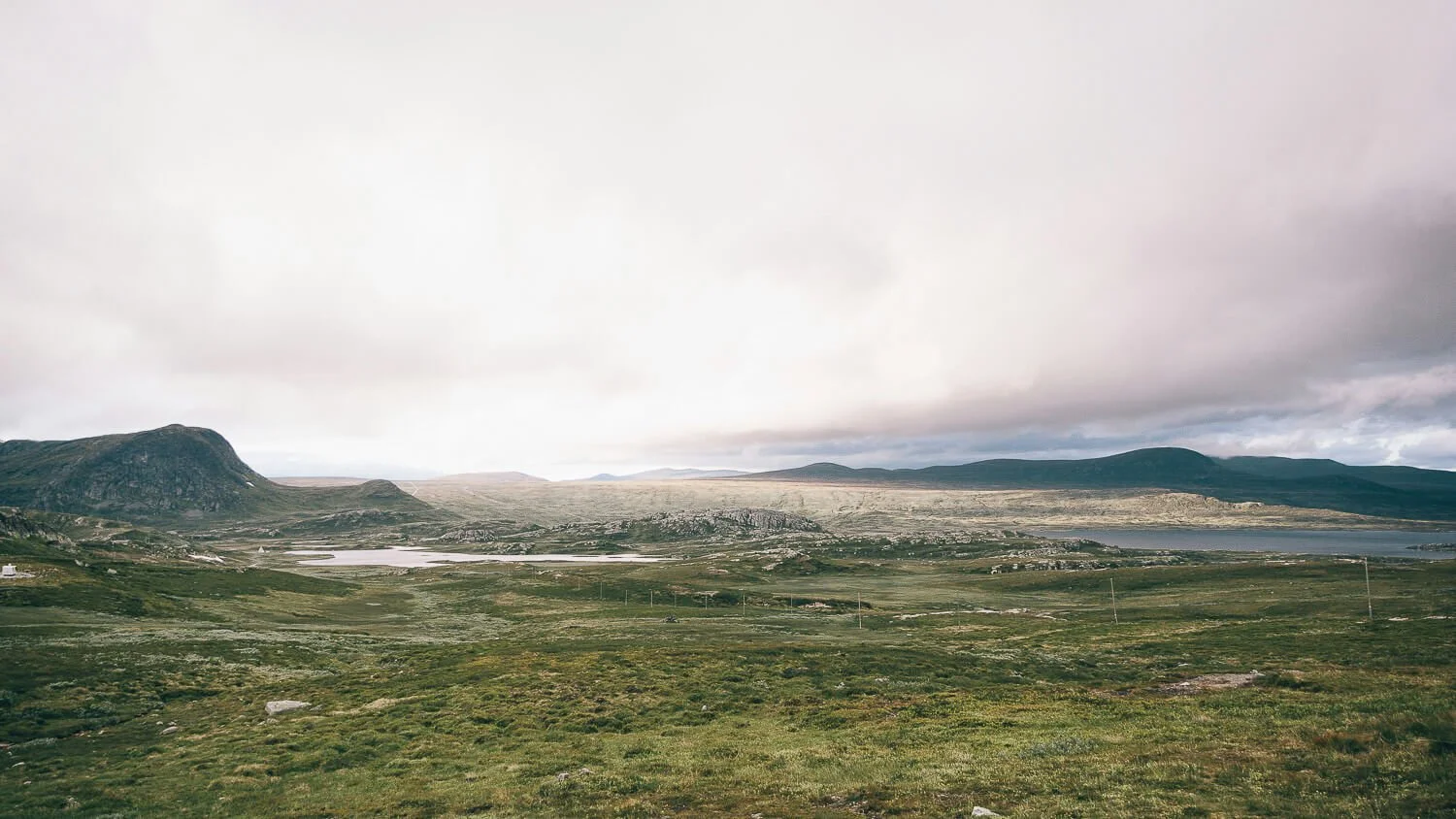
Our home ground - from the Levels to the Quantocks.
Somerset is where most of our surveying work begins. The county’s landscapes are wonderfully varied: low‑lying wetlands, steep wooded hills, coastal flats and historic towns with centuries‑old building stock.
We carry out topographical surveys, measured building surveys and Land Registry compliant plans across the county, supporting projects from small extensions to larger rural plots. We understand the nuances of local planning, the quirks of rural access and the way weather shapes a site - from winter water-logging on the Levels to the sharp winds that sweep across the Quantocks.
Typical locations: Taunton, Bridgwater, Wellington, Yeovil, Glastonbury, Wells, Frome, Minehead, Somerton, Langport, Wiveliscombe, Dulverton.
-
Coastal edges, chalk ridges and historic towns.
Dorset’s landscapes bring a mix of coastal exposure, steep gradients and protected areas - all of which benefit from careful, precise surveying. We regularly complete topographical surveys, measured building surveys and Land Registry plans for properties in both rural and coastal settings.
From the Jurassic Coast to inland chalk downs, the county’s topography can be complex, and many properties sit within conservation areas or AONBs.
Typical locations: Sherborne, Dorchester, Bridport, Lyme Regis, Weymouth, Blandford Forum, Gillingham, Shaftesbury, Beaminster, Sturminster Newton.
-
Wide skies, deep valleys and varied terrain.
Devon’s terrain can be challenging - steep access, long rural driveways, exposed moorland weather - but it’s a landscape we know well. We provide topographical surveys, measured building surveys and Land Registry plans for residential, agricultural and mixed‑use sites.
We work with homeowners, landowners and designers across the county, providing clear drawings that support confident decision‑making.
Typical locations: Exeter, Tiverton, Honiton, Crediton, Cullompton, Exmoor fringe villages, Okehampton.
-
Open chalk landscapes, market towns and military influence.
Wiltshire’s mix of rural settlements, MOD land, chalk escarpments and historic towns creates a unique surveying environment. We carry out topographical surveys, measured building surveys and Land Registry compliant plans for properties across the county.
Our work ranges from small residential projects to larger land parcels requiring clear, compliant mapping.
Typical locations: Warminster, Westbury, Trowbridge, Salisbury, Devizes, Marlborough, Bradford‑on‑Avon, Amesbury, Pewsey.
-
Although most of our work takes place across Somerset, Dorset, Devon and Wiltshire, we do occasionally travel further afield. Sometimes this means supporting long‑standing clients on sites outside the region; other times it’s a unique property, a specialist requirement or a location where our particular approach is a good fit.
If your project sits just beyond our usual map - or even a little further - you’re welcome to get in touch.
Ready to begin?
If you’d like a quote or want to talk through a project, you can reach us any time via the contact page. We’ll let you know what’s needed, how long it will take and what to expect next - with clarity, care and no pressure.