What to Expect From Your Topographical Survey With Reeder Surveys
Helping you feel confident, informed, and completely at ease from first enquiry to final drawings
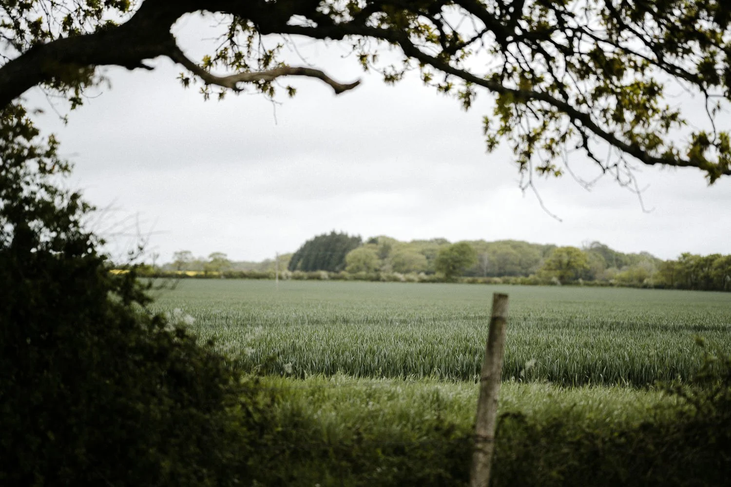
Booking a topographical survey shouldn’t feel complicated - and with Reeder Surveys, it never does. Whether your site sits among the chalk downs near Pewsey, the rolling farmland outside Ilminster, the wooded valleys around Tiverton, or the bustling edges of Salisbury, we bring clarity, calm, and a genuinely friendly presence from start to finish.
Here’s how your journey with us unfolds.
First Contact & Setting the Brief: A Friendly, Helpful Start
From the moment you get in touch, everything begins with a genuine conversation - a relaxed chat with someone who wants to understand your project, your site, and what you’re hoping to achieve. It’s all about connection, clarity, and making you feel supported right from the start.
We’ll talk through what you’re planning, the type of site you have (garden, paddock, field, woodland, estate road, or anything in between), who’s involved, and any deadlines or planning pressures. If you’re unsure what level of detail you need, we guide you with clarity and confidence. If your architect or landscape designer has a specific brief, we follow it precisely.
We take the time to look through any drawings, sketches, or notes you or your design team share with us. It helps us build a clear picture of your vision and ensures nothing is missed. By the time your quotation arrives, everyone is on the same page - you know exactly what we’ll be surveying, and we know exactly what you need. It’s clarity and confidence before we even set foot on site.
Survey Day: Friendly Faces, Precision Instruments, and a Respectful Approach
Survey day is where everything comes to life. We arrive with a clear plan and a friendly, respectful attitude - whether we’re stepping into a compact garden in Bruton, a multi‑acre field near Amesbury, or a new estate road layout in Dorchester.
We work quietly, efficiently, and with full respect for your home, land, and privacy. And yes - we’ve navigated everything from curious livestock to narrow lanes to the occasional over‑enthusiastic dog.
Depending on your brief, we’ll capture:
Ground Levels & Landform
We map the shape of your land with precision:
Spot levels
Contours
Slopes and gradients
High and low points
This forms the backbone of good design - drainage, foundations, landscaping, and earthworks all depend on it.
Man‑Made Features
Every built element is captured accurately, tailored to your site type:
Gardens: patios, paths, walls, steps, outbuildings
Fields/land: boundaries, gates, tracks, troughs, ditches
Estate carriageways: kerbs, channels, road edges, footways, verges, service covers
Building footprints and height data
Fences, walls, gates, retaining structures
Drainage features
Above‑ground utilities
Natural Features
We record the living landscape with the same level of care:
Trees (species where known, trunk diameter, canopy spread, height)
Hedges, shrubs, and significant vegetation
Streams, ponds, ditches, embankments
Survey Control
To ensure accuracy and repeatability:
Permanent markers
Level and grid datums
Off‑Site Context
Because your site doesn’t exist in isolation:
Neighbouring buildings
Overhanging trees
Adjacent features that influence design
Back at the Office: Turning Raw Data Into Clear, Beautiful Drawings
Once the fieldwork is complete, the real craftsmanship begins. Back at the office - often with muddy boots and a well‑earned cup of tea - we transform the raw data into a clean, accurate drawings of your site.
We:
Download and verify all measurements
Process the survey in CAD with precision
Add layers, symbols, annotations, and height data
Generate contours
Apply any specific drawing standards your design team prefers
Every drawing is checked thoroughly before it reaches you. We’re perfectionists - in the best possible way.
Final Delivery: Drawings You Can Trust and Use Immediately
Your completed survey arrives in the formats you need:
PDF for easy viewing
DWG for architects, engineers, and designers
We take great care to ensure everything is clear, accurate, and ready for your design team to use straight away.
Ongoing Support: We’re Always Here for a Chat
Once your drawings have been issued, our support doesn’t suddenly stop. We’re always happy to walk you through the drawings, answer questions, or liaise directly with your design team so everything flows smoothly into the next stage of your project.
Whether you want to clarify a level, understand a particular feature, check how something relates to your architect’s plans, or simply make sense of the information in a way that feels clear and manageable, you’re always welcome to get in touch.
We genuinely enjoy helping clients understand their sites, and we never expect you to interpret the drawings alone. A quick call or email can make all the difference.
Why People Across Somerset, Dorset, Devon & Wiltshire Choose Reeder Surveys
Warm, approachable service - you’ll always feel looked after
Deep local knowledge of Somerset, Dorset, Devon, Wiltshire and the wider South West
Experience with every site type: gardens, fields, farms, estates, highways, and more
Clear communication from first enquiry to final delivery
Accurate, reliable drawings that design teams genuinely appreciate
A calm, friendly presence on site - even when the weather isn’t playing ball
Whether you’re reshaping a garden in Marlborough, planning a new home near Wincanton, or developing estate roads in Westbury, we’re here to help you begin with confidence and clarity.
Ready to Take the Next Step?
If you’re planning a project and want to understand your site properly from day one, we’d love to help. You can explore more detailed information, examples, and answers to common questions on our dedicated Topographical Survey page - it’s a great place to deepen your understanding before we chat.
And when you’re ready, just reach out. We’re here to make the whole process feel simple, supportive, and stress‑free.